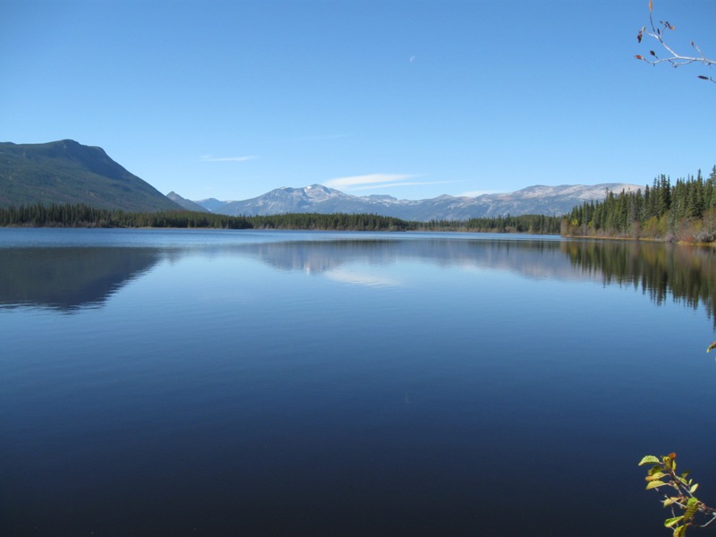
Maps of the Chilcotin
A wide variety of overview, trail, and topographic maps of the Chilcotin is available online and listed below.
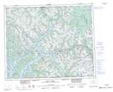
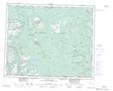
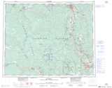
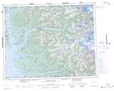
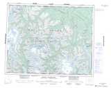
Topographic Maps of the Chilcotin
The maps below link to the Canadian topographic maps at 1:250,000 scale for the Chilcotin region. All 1:50,000 scale topo maps of the Nationial Topographic System of Canada (NTS) can also be found on each map page.
 |
 |
 |
 |
 |
 |
 |
 |
 |
Overview Maps
Overview Map of the West Chilcotin
Map of Cariboo Chilcotin Coast Scenic Drives
Map of Chilcotin biogeoclimatic zones
Interactive driving routes map
Wilderness Trail Maps
Chilcotin Mountains Trail Map
Download high quality trail maps of the mountainous regions in the south and west Chilcotin. Also includes valuable trail descriptions.